
Search a Moorefield Address Through County Records
Every Moorefield address runs through Hardy County first. Open the WV Property Viewer and enter the physical E-911 address. Then save the full parcel ID. That number links the Assessor detail, the recorded deed, and the Sheriff's tax ticket. The town site is a separate stop. It covers planning, zoning, historic landmarks, business licenses, and council meetings. But it never replaces a deed search or the county assessment record.
- Search the physical Moorefield address in WV Property Viewer and copy the parcel ID.
- Compare the Assessor's owner, land description, and tax-map context for that parcel.
- Use its owner or parcel reference to find the deed at Hardy County Clerk Online Records.
- Check the Sheriff's ticket for the relevant tax year and payment status.
- Ask Moorefield Town Hall about local zoning, landmark, or permit files for the address.
The county's shared portal has its own quirks. The Hardy property search page explains the mechanics, while the details here stay focused on Moorefield's own boundaries, town offices, and local record gaps.
County Deeds and Moorefield Town Files
Different offices hold different pieces of the file. The Hardy County Clerk records the deeds, plats, liens, releases, and estate papers tied to Moorefield land. The Assessor keeps the land-book and tax-map view. The Sheriff-Treasurer collects the property tax. Moorefield's own office handles planning and zoning links, historic-landmark material, licenses, meetings, and municipal forms. Town Hall answers a land-use question, but the county custodians still hold the title and tax trail.
Hardy County Record Sources
The Clerk holds recorded deeds; the Assessor and Sheriff hold value and tax details.
Moorefield Permits and Zoning
206 Winchester Avenue
Moorefield, WV 26836
304-530-6142
Moorefield Holds the County Seat
Moorefield wears two hats at once. It is a town, and it is the Hardy County seat. The courthouse record offices cluster there. The West Virginia Blue Book traces the charter to 1777, credits Conrad Moore with the name, and lists the town as a Class II municipality. That history shapes every search. People look up a town name and land in a county custodian's records, because the courthouse sits in town but runs no separate deed office or assessor roll of its own.
The municipal site lists 2.78 square miles. 2.73 of that is land, and 0.05 is water. That footprint is the town, not the mail route. Some mailed parcels sit outside it. For an edge parcel, check the official town boundary record against the Hardy parcel map.
ZIP 26836 Is Not Moorefield's Boundary
ZIP 26836 is postal, not municipal. Mail can carry a Moorefield city name for a property well outside the incorporated town. A ZIP code settles nothing about zoning. The state Viewer only takes physical E-911 addresses, and it rejects rural routes and PO boxes. Tax records add another wrinkle. The mailing address there can differ from the parcel's situs.
Near the edge, compare four things. Check the physical location, the parcel ID, the tax district, and the municipal boundary together. No full annexation timeline or corporate-limit map is published. Ask for the town's boundary map or ordinances, set them beside the county parcel and legal-description records, and let the postal label go.
Moorefield Planning Links Are Not a Permit Search
The town site points to its local boards. Visitors find links to the Planning Commission, the Board of Zoning, the Historic Landmark Commission, business licensing, council meetings, and documents or forms. Town Hall is the right local stop. It also handles landmark questions, licenses, and meetings. No permit search by address exists. A commission link is not a searchable archive.
For a Moorefield parcel, write to the town with the street address and the Hardy parcel ID. Ask what it keeps by address. Building permits, certificates of occupancy, zoning approvals, variances, sign permits, demolition files, and code-enforcement records all belong on that list of questions. The town should state its search method, the file years, the copy cost, and whether a record sits at the counter or online. Never assume the files are open by parcel number.
For planning and zoning, the source is the Town of Moorefield, and you can open the Town of Moorefield's official site.
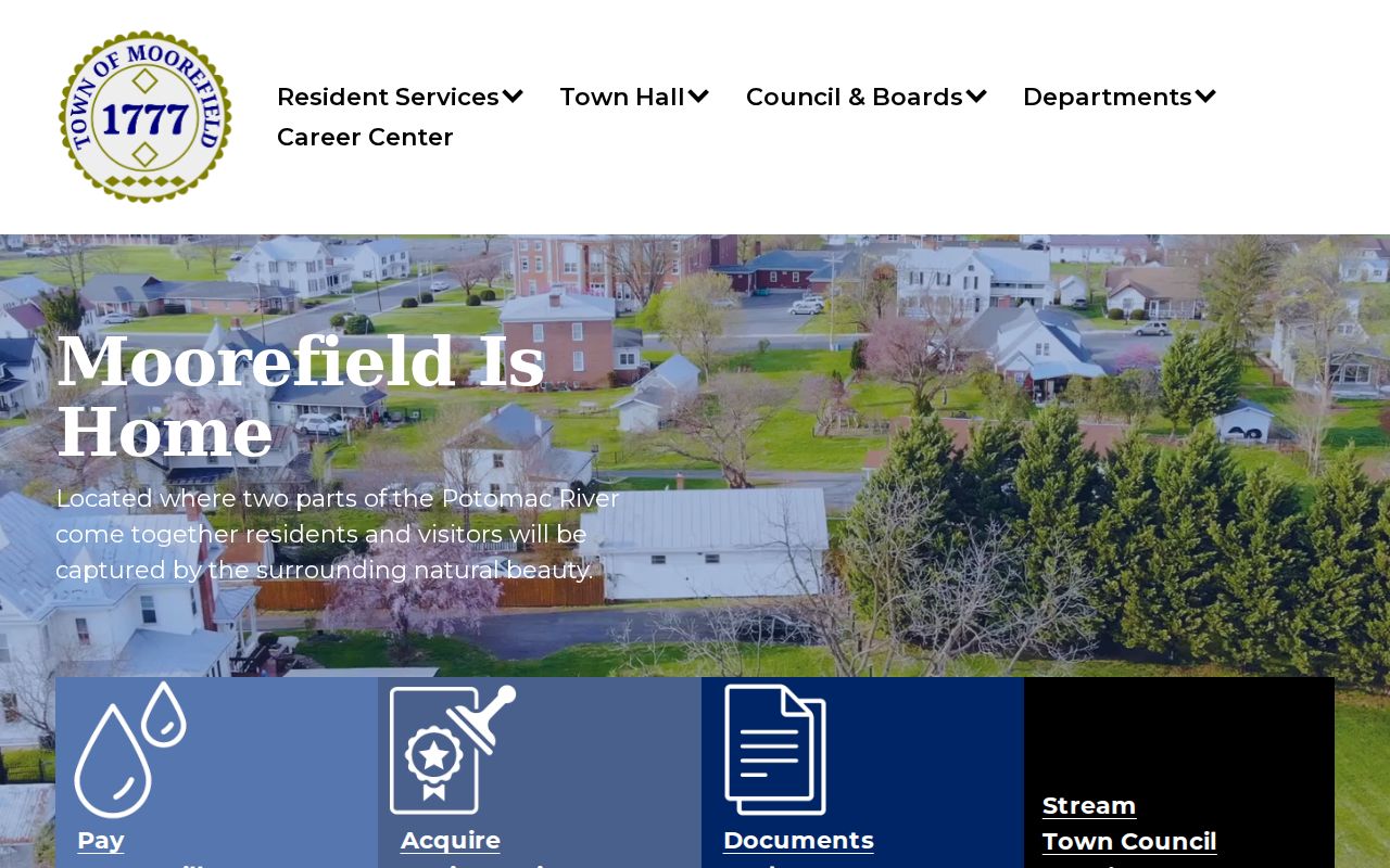
The town page leads to local boards and forms. Deed, parcel, and tax records for Moorefield stay with the county sources.
Moorefield Plats and Neighborhood Names
No official town source lists Moorefield subdivisions. Casual neighborhood names fill the gap. A name like that proves nothing about a recorded subdivision. Only a deed or plat can back the label. The Clerk's plat index gives the document title, the lot and block, the book and page, and how parcels relate.
| Neighborhood / Subdivision | Era | In the Records |
|---|---|---|
| Recorded subdivision name not verified | Not established in reviewed town sources | Check Clerk plat title and book/page |
| Lot-and-block reference | Parcel-specific | Match deed lot/block to recorded plat |
| Older tract or survey name | Historic period not yet matched to a town plat | Check Historic Survey Books and deed description |
Start with the tax-map parcel. Then search the Clerk's index for the recorded plat name or the lot and block. The deed or plat must name it first. A subdivision is an identifier only after that. Compare the instrument with the current map through the Hardy parcel maps method, since street names and parcel lines sometimes change.
Moorefield's Town History Changes Address Context
Moorefield's 1777 charter, and its naming for Conrad Moore, are useful clues. Old deeds, survey descriptions, and town decisions often lean on wording from that era. No full annexation timeline exists in one place. There is no street-renaming list, and no official map of the town's enclaves. So treat a historic street or tract name carefully. Match it to a deed, a town ordinance, or a plat. Only then call it a current address.
Postal city, town limit, and E-911 situs can disagree. Keep those fields separate. The current physical address is the fastest way to locate a parcel in the Viewer. From there, use a tax map. The legal description ties the parcel to the county land record. For a disputed town boundary, ask Town Hall. Request annexation ordinances and a current limit map. Guessing the line from a ZIP code invites errors.
Historic Survey Books Help with Moorefield Tracts
The County Clerk's Historic Survey Books project gives researchers a searchable index. It also supplies images for named surveys. A West Virginia Archives and History preservation grant funded much of the work. This is the place to turn when an older Moorefield tract hides under a farm, road, stream, or survey name. The tract may sit under one of those labels instead of a modern street address. Remember the survey entry is a lead. It is not proof of any later conveyance.
Hardy County Public Library is another local-history resource. Its roots go back to 1927 and the Moorefield Women's Club. It moved to its current location in 1952 and was renovated in 2018. The library's own material lists local history, genealogy, records, and some funeral files. It publishes no directory, obituary runs, or Moorefield Examiner year runs. Ask staff which street or name range you need before you visit.
Moorefield Value Trends Need Parcel Evidence
The Hardy Assessor's 60% assessment rule applies to Moorefield parcels. It works just like any other county land. The state Viewer is updated annually, but the parcel system publishes no town-only trend. That gap matters. Countywide value changes should never be dressed up as a Moorefield neighborhood trend. That claim needs parcel-level records and a clear comparison period.
The town site offers a municipal area figure, not a local revaluation study. For one address, put the Assessor's land and improvement values beside the tax ticket year. Add any recorded sale information too. A historic-landmark designation can add a local land-use record. The commission link by itself does not prove a specific parcel carries that designation.
Request Moorefield Town Records by Address
The Town Office sits at 206 Winchester Avenue in Moorefield. Hours are Monday through Friday, 8:30 a.m. to 4:30 p.m., and the phone is 304-530-6142. The town's posted links may lack the permit, zoning, landmark, license, or meeting record you need. Ask the clerk how to inspect it or get a copy. Include the address, parcel ID, record type, and rough time period in any request.
West Virginia's Freedom of Information Act, W. Va. Code Chapter 29B, governs the process. A request must be reasonably specific. The response is due as soon as practicable. That deadline runs within five days, excluding weekends and legal holidays. A custodian may hand over the record or arrange inspection or copies. A custodian may also deny the request in writing. Fees may cover actual reproduction costs, never search labor. Confirm the town's current copy process before counting on any particular fee.
What Moorefield Property Records Establish
Moorefield property records can show a recorded transfer. They can also show the tax owner, assessed value, payment status, a plat, or a town land-use file. Each item carries its own date and purpose. The Clerk's deed establishes the recorded conveyance. The Assessor and Sheriff supply tax information. The Viewer adds map context. The town may hold zoning or landmark material. No single result proves full title, an exact boundary, or a market sale value.
The county's online deed index is paid, and its oldest searchable year is not published. The town's public pages list planning links but no address-keyed permit database. When a search comes up empty, ask the responsible custodian. Use the legal description and parcel ID throughout. That keeps county and town results matched to the same property.
Lawful use. Use Moorefield property records for lawful property research and civic questions. Do not use owner details to stalk, threaten, or harass anyone.