
Read Hardy Parcel Map Layers
The WV Property Viewer draws Hardy County surface parcels and lets you find them by address, parcel attribute, geometry, or coordinates. Each layer answers a different question. The polygon shows the tax-map unit. The detail panel lists the parcel's attributes. Flood and delinquent-land overlays add context around it. Still, no single layer proves a deeded boundary or establishes the owner of record.
| Layer | What It Shows | Use |
|---|---|---|
| Surface parcels | Tax parcel polygons and IDs | Locate the parcel and its neighbors; reference only |
| Parcel detail | Owner and assessment attributes where returned | Open detail, then compare with Assessor and Clerk records |
| E-911 address | Physical address search and location | Match situs location; postal city can differ |
| Flood hazard | Effective and advisory or updated flood areas | Check context, then verify with the WV Flood Tool |
| Delinquent lands | State delinquent-land layer, updated weekly | Find a lead, then check Auditor and Sheriff records |
| Aerial / base map | Visual surface context | Orient the search; it is not title evidence |
Start with the parcel ID when you move from the map into Hardy County records. The Assessor's land book keys off that number. The Sheriff's tax ticket does too. For the legal description, though, go to the County Clerk. A recorded deed or plat states the boundaries with authority the tax map lacks. The state viewer places the parcel and its neighbors. The Clerk holds the land evidence.
Hardy Parcel IDs Carry Six Parts
West Virginia builds its full parcel ID from six parts. These are a county code, district code, map number, parcel prefix, parcel suffix, and a special ID. The state viewer accepts the whole number or guided entry by parts. It may also display a shorter GIS or CAMA/IAS version that drops some elements. The help documentation's numerical example comes from another county. Don't use it to guess Hardy's code. Pull the complete Hardy ID straight from the live result instead.
Leading zeros and hyphens matter. A shortened label can look different while pointing to the same parcel. Keep the exact version the viewer shows. Then compare map, parcel, suffix, and special ID fields against the tax ticket or Assessor record. That check pays off most when a parcel was split. It also helps when a paper change has not yet reached the digital geometry.
The parcel number is a cross-reference, not a legal description. For a transfer or boundary question, the recorded deed and plat remain the stronger evidence.
Find a Hardy Parcel at Close Scale
If you know the physical street location, search the E-911 address first. Rural parcels, or addresses the system rejects, call for a different route. Try the owner, the parcel number, geometry, or coordinates instead. The viewer notes that parcel outlines appear at about a 1:18,056 scale. Zoom to that level. Click the map to identify a parcel. Where geometries overlap, a selection window lists the IDs. Arrows in the window let you move between them.
- Choose the Hardy E-911 address, Parcel Attributes, geometry, or coordinate mode that fits the information available.
- Open the matching result and copy the full parcel ID and physical address.
- Zoom to parcel scale and use identify to check the polygon and detail panel.
- Use the ID in the Assessor land book or Sheriff ticket, then compare legal text with a deed or plat.
Coordinate searches work well for placing a known point when a rural address fails. But coordinates only mark a spot on the map. They don't prove which legal parcel contains it. Compare the selected polygon against the parcel's full identifier. Then read the county description and the deed. Overlapping shapes or several nearby IDs deserve extra care. Open each detail record rather than trusting one click as the final match.
Open the WV Property Viewer to use the Hardy parcel search and map identify tools.
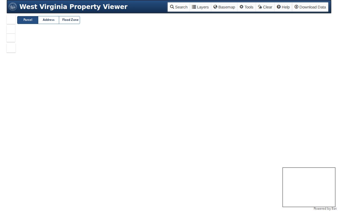
The viewer pairs a search result with a map, but a written legal description still takes a deed or plat check.
Hardy GIS Geometry Shows Nearby Parcels
The Hardy GIS viewer offers a geometry search with a buffer-size field. It is the best map tool for spotting parcels near a spot you choose. Check the screen for the buffer units. The distance setting is not always labeled clearly. An identify click at close scale works too. It pulls up adjoining parcel IDs one at a time.
Want a block-level list of owners? Take those IDs and open each parcel detail. Compare the owner of record against the Assessor entry. A street-wide list mode is not part of the state search. So a street query is not a full neighbor roster. The map shows no complete road list. The Hardy County Assessor or the land-book counter can fill the gap.
The boundary-focused Hardy neighbor lookup leans on that adjacent-parcel workflow. This page stays with the broader map and parcel system.
Locate a Hardy Parcel from an Address
The WV Property Viewer address search runs on E-911 data. It will not accept rural routes or PO boxes. A postal city name is not a boundary either, and a mailing address can point somewhere other than the parcel. Hardy County includes rural communities whose mailing names are not incorporated municipalities. Search the physical situs address first. Then carry the parcel ID forward into the records.
- Enter the E-911 street address, not a PO box or rural route.
- Open the parcel result and copy the full ID, situs address, and owner detail.
- Use identify or geometry tools to review the mapped surface parcel.
- Compare the legal description in the Clerk deed or plat before relying on its shape.
- Parcel ID
- The tax-map key built from county, district, map, parcel, suffix, and special ID.
- Plat
- A recorded map showing a subdivision, lot, block, streets, or easements.
- Lot and block
- A parcel description that refers to a recorded plat's numbered pieces.
- Metes and bounds
- A legal description using measured lines, directions, and boundary calls.
- Easement
- A recorded right to use or cross land; check the deed or plat for its terms.
Hardy Flood and Delinquent Land Layers
The WV Viewer draws flood zones right on the parcel map. Effective and advisory hazard layers give a first read. For anything official, the state routes you to the WV Flood Tool. Treat the overlay as context, never as an insurance or engineering answer. Match the location against the state flood resource. Then check the local paper record. Only then conclude anything about a parcel in Hardy County. The Delinquent Lands layer refreshes weekly, per the state help pages. It flags parcels worth a closer tax review. The Auditor, though, keeps the sale and redemption record. Hardy's Sheriff ticket and current county notice carry the actual tax-account details. A color on the map proves neither a final sale nor an ended redemption.
Recorded Hardy Plats Name the Lots
Recorded plats live with the Hardy County Clerk, along with lot-and-block descriptions. A plat does quiet but important work. It names a subdivision, and fixes a lot and block. It shows streets and dedications, and flags easements. The deed itself then says what land changed hands. For current tax-map context, the WV Property Viewer helps. It is not the legal source for any transfer.
Hardy County publishes no subdivision-plat images through its free online pages. To pin down a lot, search the Clerk's paid index or ask at the counter with a plat name, book and page or instrument reference, and parcel number. The county does not publish the full index date range or image charges online. Never swap an informal neighborhood name for a recorded plat name. Check the document itself first.
Older Hardy County deeds sometimes describe land by tract, stream, ridge, or road. They may not use a modern lot number. Compare the survey book and the legal description first. Only then map the parcel to today's records.
Download Hardy Surface GIS Data
West Virginia gives away digital surface tax maps through the State Data Clearinghouse. GIS files come from the same source. The downloads include print-ready map images and GIS geodatabase formats. Updates arrive yearly, coordinated with the state tax office. The WV GIS Technical Center serves as the official download destination. The Property Assessment portal points to it. Before relying on a file, confirm the current Hardy County file name in the live clearinghouse. Check the projection, attribute fields, and update date there too.
Countywide files suit a broad parcel review or a mapping project. The live Viewer works better for a one-parcel identify search. Remember that the clearinghouse package does not turn tax lines into surveyed boundaries. The state warns that parcel geometry can lag paper changes. When a recently changed line still looks stale, the state advises contacting the local Assessor.
Visit the WV GIS Technical Center and State Data Clearinghouse.
Read the file metadata before putting any download to work. For the current parcel record, the Hardy County Assessor and Clerk remain the authorities.
What Hardy Parcel Maps Cannot Prove
The state calls its surface tax maps best-fit visualizations. A tax-map line is not a legal boundary. Calculated GIS acreage can differ from deeded acreage. For conveyance evidence, the written deed description wins. The Assessor's map organizes tax parcels. A licensed surveyor locates a boundary on the ground. Not every mineral parcel appears as a surface parcel, and mineral mapping varies by county.
When a line, an acreage figure, or a shared road is disputed, compare the recorded deed and plat first. Then ask a surveyor to locate the boundary. The County Clerk's instrument remains the record of the conveyance. The WV Viewer is a search and reference tool, nothing more. A map screenshot or an exported parcel row is never a title opinion.
Older Hardy County tracts were often divided over time. Compare the legal calls and acreage in the old deed against the current map and any later plat. A modern tax parcel may not match the shape or size stated in the earlier instrument. The Assessor can explain a tax-map adjustment, and the Clerk can locate the recorded deed. Neither office turns the tax map into a ground survey.
Not a survey. Hardy parcel maps show tax reference geometry, not a legal boundary. Use the deed and a licensed surveyor when a boundary decision matters.